|
REFINE
Browse All : Images of Colorado (United States, North America) (first order administrative divisions) from 1907
1-5 of 5
Name Display Form
[Nell, Louis, Kendrick Book & Stationery Co., Friedenwald Co.]
Title
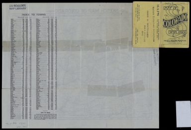
Nell's topographical map of the state of Colorado
Date Issued
[1903, 1907]
Title
Sketch map of Colorado
Date Issued
1907
Title
Sketch map of Colorado
Date Issued
1907
Name Display Form
Drumm, Henry A., 1857-1937
Title
The E. G. Pryce Company's map of North Central Colorado, showing irrigated and unirrigated farming lands
Date Issued
1907
1-5 of 5
|