COLLECTION NAME:
Mining Maps of Colorado
Record
Collection Name:
Mining Maps of Colorado
Title:
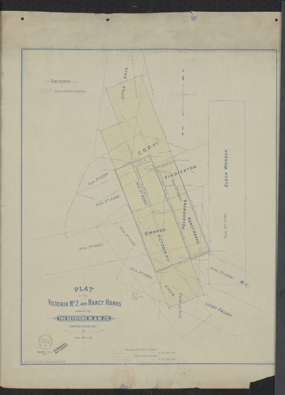
Plat of the Victoria no. 2 and Nancy Hanks owned by The Keystone M.&M. Co.
State:
Colorado
County:
Teller
USGS Quadrangle:
Big Bull Mountain
Name:
Hills, Fred
Name Role Term Text:
Engineer
Type of Resource:
cartographic image
Genre:
Maps
Place Term:
Colorado Springs (Colo.)
Publisher:
Fred Hills M. & M.E.
Date Issued:
1900
Date Created:
1900-03-13
Language Term:
English
Form:
Cartographic materials
Internet Media Type:
image/tiff
Extent:
1 map : blueline ; 62 x 50 cm, on sheet 74 x 60.5 cm
Digital Origin:
reformatted digital
Mine Note:
Nancy Hanks; Victoria No. 2
Note:
The Keystone M&M
Subject Topic:
Mines and mineral resources
Scale:
1" = 100'
Coordinates:
38° 43' 50.88'' N / 105° 7' 4.8'' W
Meridian:
6th
Public Land Survey Location:
Sec.21, T.15S.R.69W
Identifier:
43352000.tif
Physical Location:
Jerry Crail Johnson Earth Sciences & Map Library, University of Colorado Boulder
Rights:
The organization that has made the Item available believes that the Item is in the Public Domain under the laws of the United States, but a determination was not made as to its copyright status under the copyright laws of other countries. The Item may not be in the Public Domain under the laws of other countries. Please refer to the organization that has made the Item available for more information.
Plat of the Victoria no. 2 and Nancy Hanks owned by The Keystone M.&M. Co.