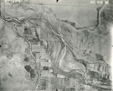
Detail View: Aerial Photographs of Colorado: AG 302-26
|
Project-Roll-Frame:
|
AG 302-26
|
|
Date:
|
1936-10-24
|
|
Publisher:
|
Soil Conservation Service
|
|
Scale:
|
1:20,000
|
|
County:
|
Otero
|
|
State:
|
Colorado
|
|
1:24000 USGS Topo Quad Name:
|
Meredith Hill
|
|
Landmark:
|
Osborne Ditch
|
|
Center Point Latitude:
|
38 9 21
|
|
Center Point Longitude:
|
-103 30 5
|
|
Physical Item Location:
|
For more information about the physical collection visit the Jerry Crail Johnson Earth Sciences & Map Library.
|
|
Rights:
|
The organization that has made the Item available believes that the Item is in the Public Domain under the laws of the United States, but a determination was not made as to its copyright status under the copyright laws of other countries. The Item may not be in the Public Domain under the laws of other countries. Please refer to the organization that has made the Item available for more information. URI: http://rightsstatements.org/vocab/NoC-US/1.0/
|
|
Identifier ARK:
|
https://ark.colorado.edu/ark:/47540/mx4j8067v0zp
|